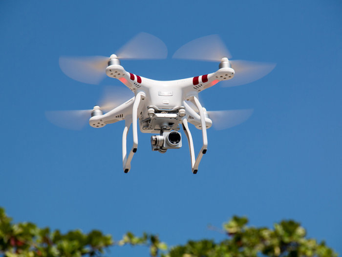
Aerial surveying and geo-mapping with an UAV. Professional surveying and geo-mapping of the future are not fixed and static, but dynamic and flexible. With the Aibot X6 UAS (Unmanned Aerial System), you can generate data for orthophotos, 3D models, and point clouds in high density with great accuracy.
CONSULTANCY SERVICES
- Conducting lectures to educate the students in colleges & Universities about different types of Land Survey services.
- Reconnaissance Survey
- Detailed Engineering survey
- Soil Investigation Survey
- Corrosion Survey
- Cadastral Survey
- Geo–Technical & Hydrological Study
Generation of survey drawings like L-Section and Cross-Section using most Advanced softwares like Auto CAD Civil-3D.

