Contour survey and maps are very useful since they provide valuable information about the terrain. The nature of the ground and its slope can be estimated. Earth work can be estimated for civil engineering projects like road works, railway, canals, dams etc. It is possible to identify suitable site for any project from the contour map of the region. Inter-visibility of points can be ascertained using contour maps. This is most useful for locating communication towers.
This type of survey shows all level, trees, buildings and visible services (if applicable) including:
A topographic survey is another name for contour survey. Therefore, if you’ve been told you require a topographic survey (or topographic surveying and mapping) of your property, the information provided here is appropriate.
A topographic survey includes measurements of the vertical elevation of the surface being surveyed as well as the artificial structures on it. Topographic surveys are widely used by governments and businesses engaging in construction.
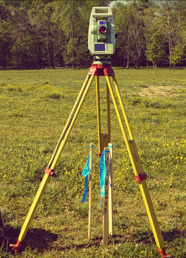
Example of a feature contour survey
Below is an example of a recent feature contour survey performed by a Land Surveyors professional. All existing buildings, levels and block measurements are clearly articulated,